Short note: This website is in Beta - we are currently building everything up but you can already find the apps to download and participate! Thank you and stay safe!
In the Tea Bag Index Citizen Science App, everything is about soil. Various observation categories are ready to participate in, from easy soil classification and testing to the well-known method of burying and weighting teabags to measure the decay rate of plants. Citizen Scientists are welcome to participate worldwide and contribute to improving climate models and soil research.
The Tea Bag Index (TBI) collects data on soil observations and in particular on the dynamics of soil decomposition. The degradation of organic matter in the soil is part of the global carbon cycle, which provides information about the biological activity of the soil and is therefore important for climate change. Changes in carbon content in soil can both exacerbate and mitigate climate change.
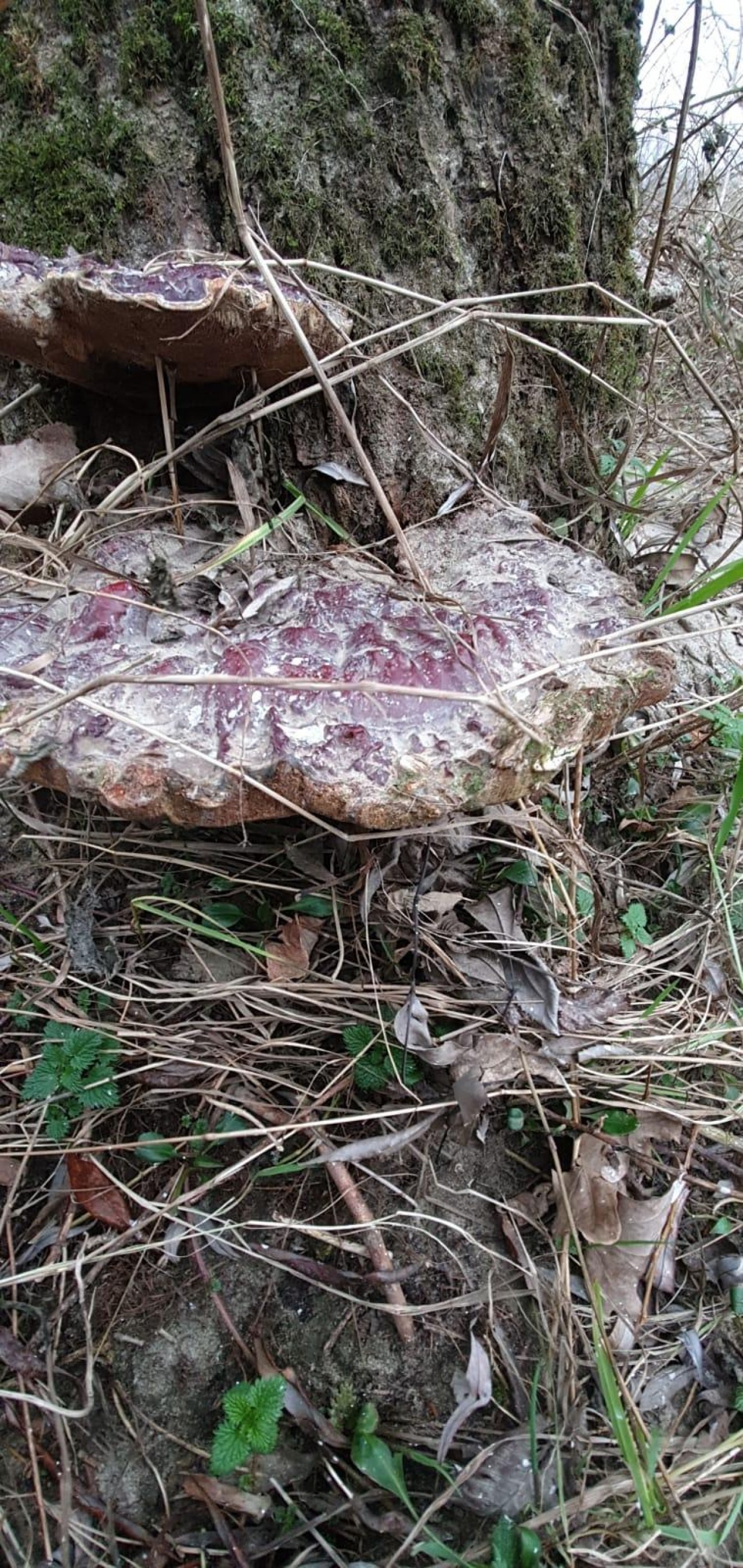
Pilzfinder is the web-app of the mycology research society of the University of Vienna. In the browser-based project, you can contribute mushroom observations from all across Europe and get feedback from the expert of the Austrian Mycology Society. By joining this Citizen Science project, you can help with the science behind fungi and learn more about the fascinating world of mushrooms.
Street lamps, light signs and illuminated buildings - light at night means security and nicer cities, but has also been shown to have negative effects on people and animals. The more artificial lights, the fewer stars you can see in the night sky.
The "Stjärnförsöket" (the Star Spotting Experiment) project collects contributions about light pollution in Sweden and in partner countries. By pointing a cardboard tube in all cardinal directions, Citizen Scientists record how many stars they see at their current location. By these values, light pollution can be calculated directly in the Citizen Science app. How many stars can you see where you live? Wtih this app you can help scientists measure light pollution by counting stars in the sky!
The project is part of the "Forskar Fredag 2019" initiative, funded by the EU Horizon 2020 program.
With the "LitterBug" app by independent Austrian environmental organization GLOBAL 2000, you can sharpen your awareness for the trash left in nature and help cleaning it up. The aim is to support a sustainable clean environment everywhere.
The GLOBAL 2000 DreckSpotz App should not only make our nature a little cleaner, but also ensure that it stays that way in the long term. With the app, people from all over Austria and beyond can help to collect data in order to develop long-term solutions for the waste problem.
With the CrowdWater Citizen Science app, you can observe rivers and collect hydrological data, including water level, streamflow and soil moisture data, as well as data about the dynamics of temporary streams, plastic pollution and general stream type data.
The project does not only look at the possibilities of collecting data but also at the value of this data for hydrological forecasts. The goal is to develop a cheap and easy data collection method that can be used to predict floods and low flow or droughts. The long-term aim of the project is to complement existing gauging station networks, especially in regions with a sparse measurement network, such as in developing countries.
ArtSpots is a community-built art atlas. Through the app people who are interested in various art forms like Street Art, historic or contemporary art, photography, architecture and more can put their art observations on the map and discover art spots in their own city or while travelling.
Do you love discovering art? With the ArtSpots app, you can share your art discoveries and own artworks with a community full of art lovers - and put your discoveries on the map. Download, register and start spotting - it is as simple as that.
By sharing your findings with others in the ArtSpots app, you help people in your city to explore local creativity or revisit art exhibitions, street art places and graffiti hotspots. You can post a wide range of art forms, from streetart and graffiti to design, from historic artworks to contemporary art or even architecture. You can share also your own creative works and even art hotspots on the map, like museums or the contemporary gallery around the corner.
Each art spot is visible for all users of the app, and you can connect with the local artists and the art community. By working together, art enthusiast from all fields can join collectively and create an extensive collection together. It is even possible to upload timelines of locations to document the development or cover new exhibitions in an art gallery.
ArtSpots, like its successor project "Street Art", is running on the SPOTTERON Citizen Science platform - it will always be free and non-commercial. We respect your digital identity, and we do not monetize your data - because of your online privacy matters. Find out more at www.artspots.net
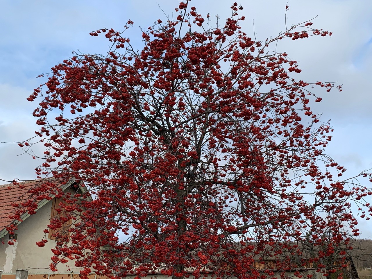
"Naturkalender" (Nature's Calendar) is the Austrian phenology app for interested Citizen Scientists who want to support phenology and climate protection by observing their surroundings. The focus lies in the development of certain so-called phenological indicator plants. Through community science observations of plants that start to bloom, bear fruit, or shed their leaves, or animal activities, they support the data collection of the Austrian Central Institute for Meteorology and Geodynamics (ZAMG) and the European Phenology Database.
These observations have been recorded at the Central Institute for Meteorology and Geodynamics (ZAMG) since 1851. Since then, voluntary so-called Citizen Scientists have been supporting them all over Austria by observing nature for us. With the Nature's Calender Citizen Science app, phenology has finally arrived in the 21st century. Here you can easily record your own nature observations on the map with your smartphone all year long, be active in the nature calendar community and, at the same time, learn a lot about nature. Due to the easy handling of the app, people from all age groups can be found in the community, and a lively exchange of interesting information takes place. And best of all: with your entries, you can help scientist to better understand climate change and find solutions for the challanges it brings.
In the Roadkill Citizen Science Project from the University of Natural Ressources and Life Sciences in Vienna, Citizen Scientists and researchers collect data about roadkill on streets all around the world. If there`s a high number of roadkill in one spot or a particular species gets killed in the same place a lot, that can help scientists understand how the animals came to die and find solutions for it.
Habitat fragmentation by roads has a severe impact on many animal species, particularly for those with high mobility or seasonal migration behaviour, such as mammals or amphibians. As a consequence, roadkill is one of the main reasons for the decrease of populations of several animal groups.
Your data allows the scientist to identify roadkill hotspot, so they can mitigate those hotspots in cooperation with local authorities.
On SPOTTERON, you can explore your world and contribute your findings in community-driven Apps. Each App on the platform has a specific topic, from nature observation or environmental protection to sharing photos of arts and culture. In many Apps, you are actively helping scientists to understand our world better with citizen science. In others, you support nature conservation and environment protection with your contributions. With the SPOTTERON Apps, you have a digital map journal right in your pocket, which allows you to record your observations and upload photos. All Apps are ad-free, and there is no permanent user tracking present - because your digital privacy matters. Join our active community of other users who share the same interest and walk our planet with open eyes. Let's discover the world together!
In every App, you can put your observations on the map and share your discoveries with others. Start mapping your adventure, post your observations and create your collection!
Don't walk alone! In each App, you will find an active community of like-minded others who also love to discover our world and who share your care about our planet.
Post your findings for a purpose! In contrast to socialmedia, your uploads make a difference by helping researchers and environmentalists via citizen science.
All Apps on the platform are ad-free. We do not want to sell you something or monetize your personal data. Each App is 100% free - and that will stay that way forever.
Select an App that interests you. All SPOTTERON Apps are ad-free, non-commercial and privacy-safe, so you can just try it out! In each App you can share your observations and support the project and its cause. Find all available Apps on the SPOTTERON App Library.
Go to the linked App Store page and install the App of your choice on your smartphone. For Android Phone, use the Play Store, for iPhones use the Apple App Store. You can also search for the App's name on the App Store of your device and install it from there.
Create a user account or log in with an existing one. You can register a new user account with a minimal amount of personal data, just an e-mail address is enough! After registration, you can use the same account across all Apps on the SPOTTERON platform.
Absolutely! After creating your user account, you can log in with it in all apps and projects on the SPOTTERON platform without the need to register again. You can find additional apps and topics here: https://www.spotteron.app/apps - Please be invited to download any app which you like to join and start spotting!
To erase all your personal data stored on Spotteron you can simply go to the settings panel in the app you use. There you can enter your current password there as confirmation about your identity and then just "klick" Delete now. There is not even a delay, your personal data is automatically erased.
At the first start of the app, it asks for permission to use the location of your phone. Please make sure that you have granted that permission - you can find an app's permission in your phone settings. Alternatively, you can uninstall and reinstall the app and grant permission - no worries, no user account data or observations are lost, you have simply to log in again.
If the reticle doesn't jump to your current location, you can also use the address search to find it or move the map to your current location manually.
If you want to be use your location, you need to turn on "Location" in your phone's quick settings (if it wasn't turned on already) and open the app again, wait a few seconds and click on the crosshairs