Short note: This website is in Beta - we are currently building everything up but you can already find the apps to download and participate! Thank you and stay safe!
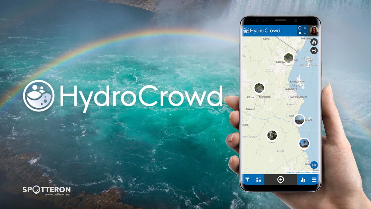
HydroCrowd
With HydroCrowd, Citizen Scientists can make a real impact by monitoring rainfall and other hydro-climatic data in Ecuador, Honduras, and Tanzania. No need to be a weather expert—just grab the app and get ready to dive into the world of water!
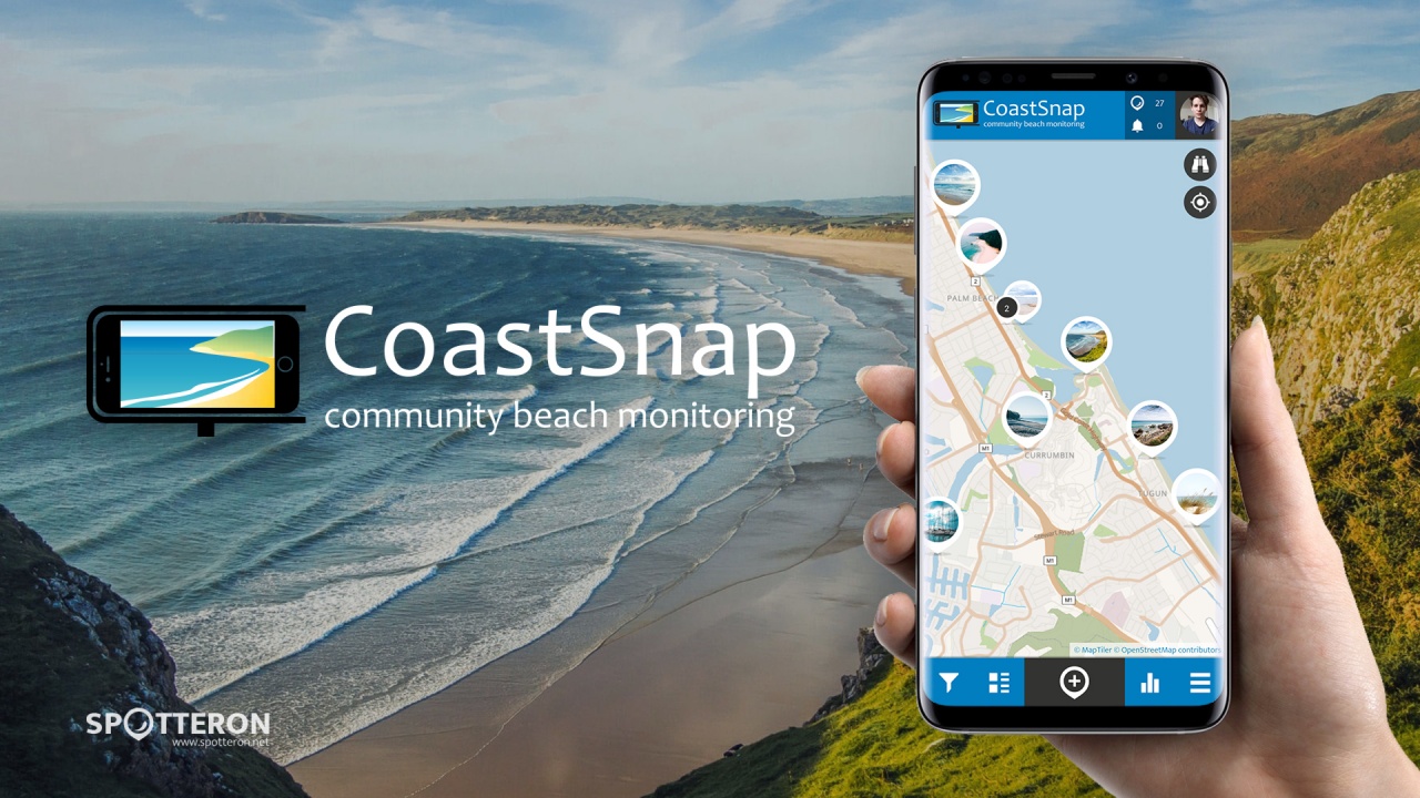
CoastSnap - changing coastlines
CoastSnap is a global citizen science project to capture our changing coastlines. No matter where you are in the world, if you have a smartphone and an interest in the coast, we welcome you to participate! CoastSnap relies on repeat photos at the same location to track how the coast is changing over time due to processes such as storms, rising sea levels, human activities and other factors.
Snap a photo of a coast near you in the app!
Using a specialised technique known as photogrammetry, CoastSnap turns your photos into valuable coastal data that is used by coastal scientists to understand and forecast how coastlines might change in the coming decades. Photogrammetry enables the position of the coastline to be pinpointed from your snaps to an accuracy similar to that of professional coastal survey teams. All we ask is that you take the photos at the same location (by using one of our official CoastSnap camera cradles or a do-it-yourself adaptation) and record the precise photo time in the App. The more photos we have of a particular site, the better our understanding becomes of how that coastline is changing over time.
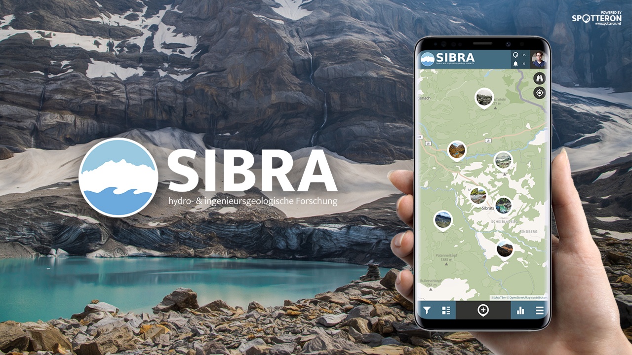
SIBRA
The connections between water and geological underground are diverse and often complicated. With the SIBRA App, you can generate reliable data on these topics and help to a better understanding of these connections. That way, you can contribute to developing models and scenarios that allow for assessing possible effects of extreme weather events, such as rapid snowmelt, flooding or drought.
Citizen Scienctist collecting hydrogeological data
With the SIBRA app, a measuring instrument is now available that complements not only existing measuring methods in the field of hydrogeology and engineering geology and enormously expands the data situation, but also allows interested citizens to actively deal with processes such as geological mass movements and hydrogeology.
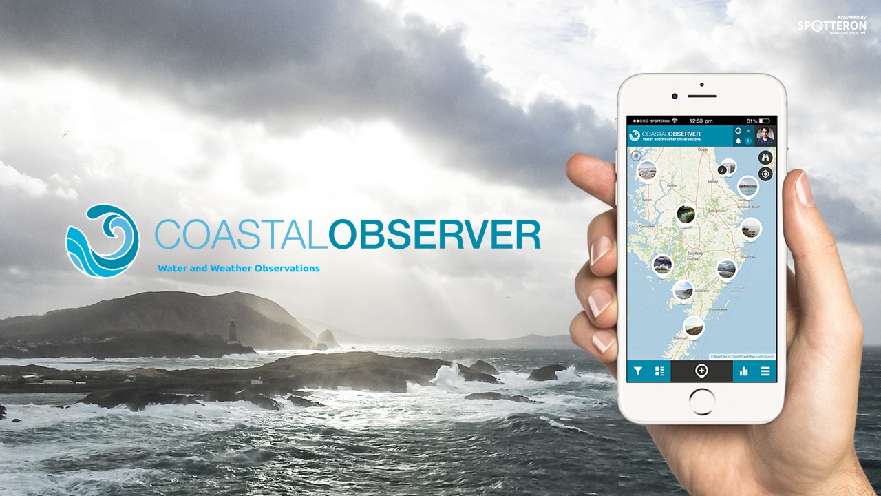
Coastal Observer
Coastal areas are in constant evolution, climate change will impact where and how humans live. In times of the imminent climate crisis, the coastline will change dramatically, and extreme weather phenomena are already starting to be part of our daily life.
Citizens monitoring weather and water
The Coastal Observer Citizen Science project explores these effects and their impact on the environment and our mood. The Coastal Observer App encourages citizens to become active in monitoring weather and water locally, and will help researchers build a pathway for a sustainable future. By contributing observations about floods, tides storms and water quality, you can help the University of Delaware, US, with their research.
CrowdWater
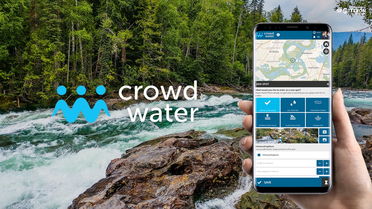
With the CrowdWater Citizen Science app, you can observe rivers and collect hydrological data, including water level, streamflow and soil moisture data, as well as data about the dynamics of temporary streams, plastic pollution and general stream type data.
Better predicting of floods and droughts with Citizen Science
The project does not only look at the possibilities of collecting data but also at the value of this data for hydrological forecasts. The goal is to develop a cheap and easy data collection method that can be used to predict floods and low flow or droughts. The long-term aim of the project is to complement existing gauging station networks, especially in regions with a sparse measurement network, such as in developing countries.
Please visit the website about the SPOTTERON Platform on www.spotteron.net
This website uses no external trackers, no analytics, just session cookies and values your online privacy.

